
Apps for Outdoor Adventures
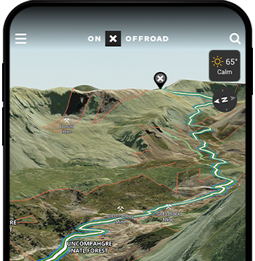
onX Offroad
Go farther with confidence
650k+ miles of open trails
60k+ campgrounds and cabins
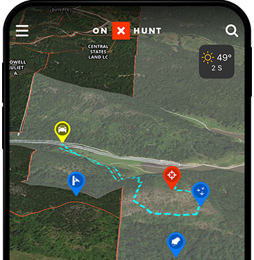
onX Hunt
Trusted by millions of hunters nationwide
852 million acres of public land
9,568 unique hunting units
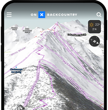
onX Backcountry
Plan and discover adventures near you
650k+ miles of trails
10k adventures and counting

Trusted by Millions of Hunters
Maps for hunting, made by hunters
- Nationwide Land Ownership Maps
- Unlimited Offline Maps
- Elite-Exclusive Map Tools and Expert Resources


Find Trails Near You
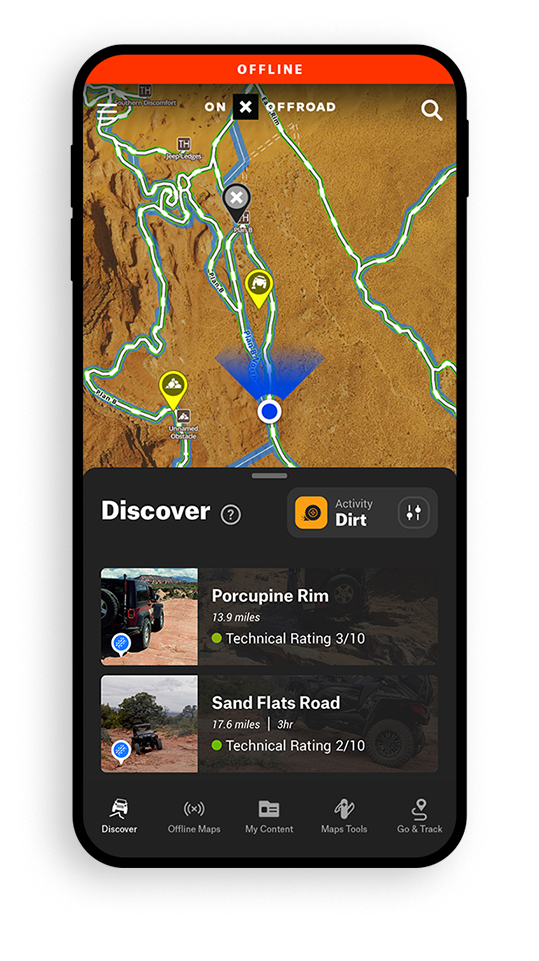
Off-roading maps for every adventure
- 852 million acres of public land
- 60k+ campgrounds and cabins
- 650k+ miles of open trails
- 450k+ points of interest

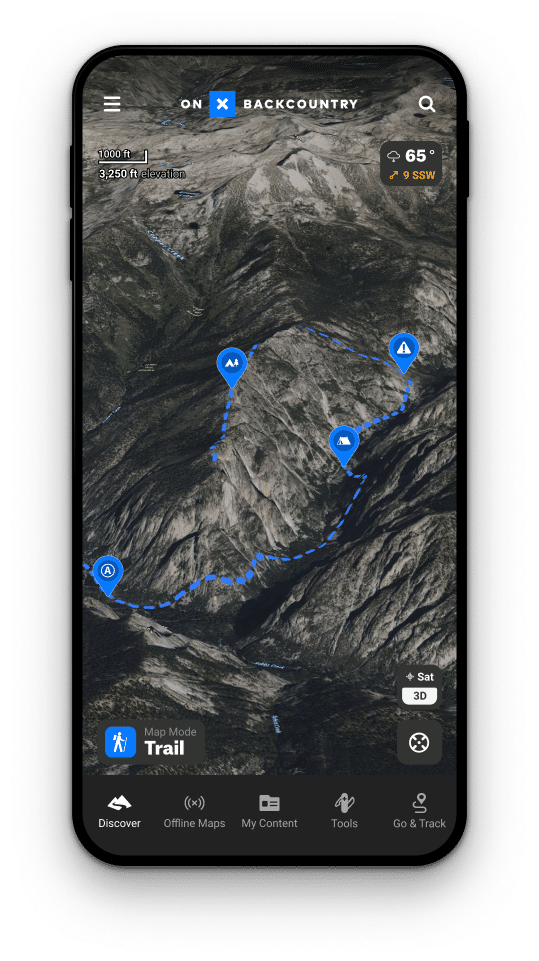

Plan & Discover Hiking and Backcountry Ski Routes
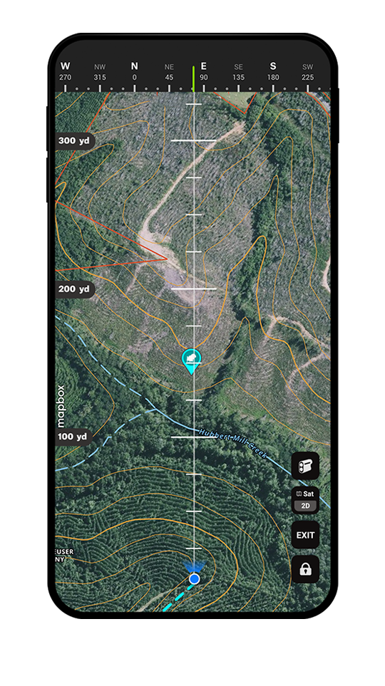
Built for going offline
- 852 million acres of public land
- 650K+ miles of trails
- 10k+ Adventures and counting
- 450k+ points of interest